
The Fate bridge
A roman bridge in Val Ponci
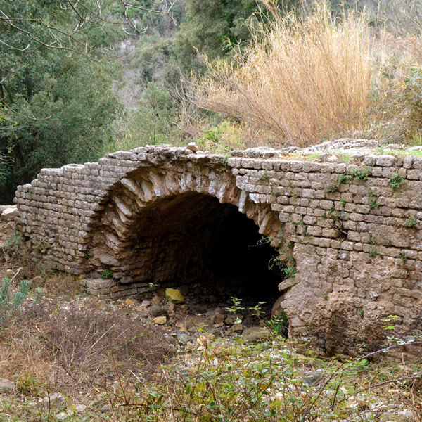
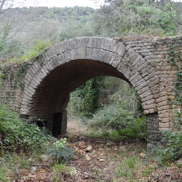
The Fate bridge is situated lower down in the Rio Ponci valley; it is 164 m a.s.l. The name comes from the dialectal word “faje” which means sheep.
This bridge was also part of the Augustan structures of the via Iulia Augusta, initiated by the emperor Augustus in 13 BCE so to connect the area of the Po Valley to southern Gaul. The road reached the coast at Vada Sabatia (Vado Ligure). Of all the infrastructures of this roman road in Val Ponci there are five bridges datable between the Augustan age and 125 CE.
This bridge has kept unaltered in its original components and gives an exceptional example of imperial roman road engineering.
The bridge was 5,8 m wide and thus had the space for two wagons. It was built with a single round arch that had a base that measured 6,6 m and is 3,8 m high, from the current riverbed, therefore the around 6 m2 of water that flows through the Acqua bridge turns to over 20 m2 under the Fate bridge.
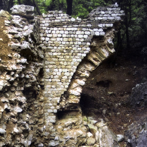
Basically, only Finale Stone was used for making the bridge with rare inserts of dolomitic-limestone and quartzite blocks. It was built with abutments made with two rows of big square blocks with drywall elements superimposed that were once held together by lead clamps.
The work on the Finale stone blocks was of a refined technique regarding the shoulder of the arch that was made without using joints through the shape of the surface of the blocks. Another confirmation of the accurate design of the bridge, pairs of rayed ashlars, link the shoulders of the bridge to the double-ringed arch with the function that not only had a static value but also an aesthetic one.
The blocks used for the vestments of the coating of the internal opera cementizia are definitely smaller and made by using the petit appareil or “small apparatus” technique that was typical of the imperial roman age.
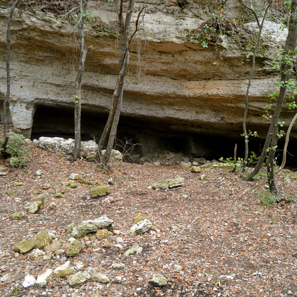
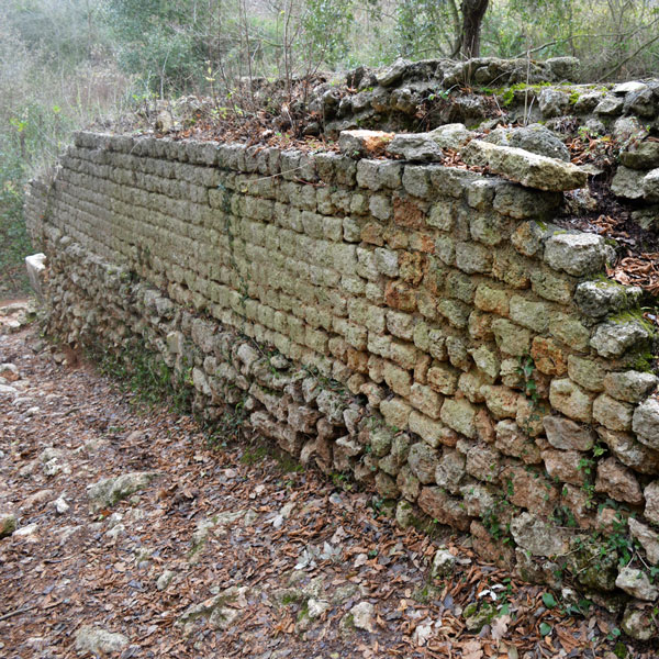
Both upstream and downstream there are traces of the retaining walls of the road that had the function of delimiting and protecting the road from landslides.
In the insertion of the side retaining walls of the ground and of the arch the elevated design and building skills are evident with the way the blocks were positioned.
The investigations that were recently carried out at the Fate bridge by the Soprintendenza per i Beni Archeologici della Liguria brought new elements that helped build an ideal vision of the building phase of the bridge and highlighted how the processing of the blocks was done directly on the building site with the production of a large quantity of production waste that was used to fill the shoulders of the bridge.
To discover close to the Fate bridge
HOW TO REACH
![]() THE FATE BRIDGE
THE FATE BRIDGE
How to reach the site
The Val Ponci can be explored on foot or by bike starting from Verzi or coming down from Colla di San Giacomo close to Magnone.
Visit
Guided tours in the valley are part of the Archeotrekking events, organised by the Archaeological Museum of Finale.
Info
![]() Orario di Visita
Orario di Visita
![]() Calendario delle visite
Calendario delle visite
GALLERY
[ls_content_block id=”7170″]