The Val Ponci


Roman bridges in an enchanting natural setting
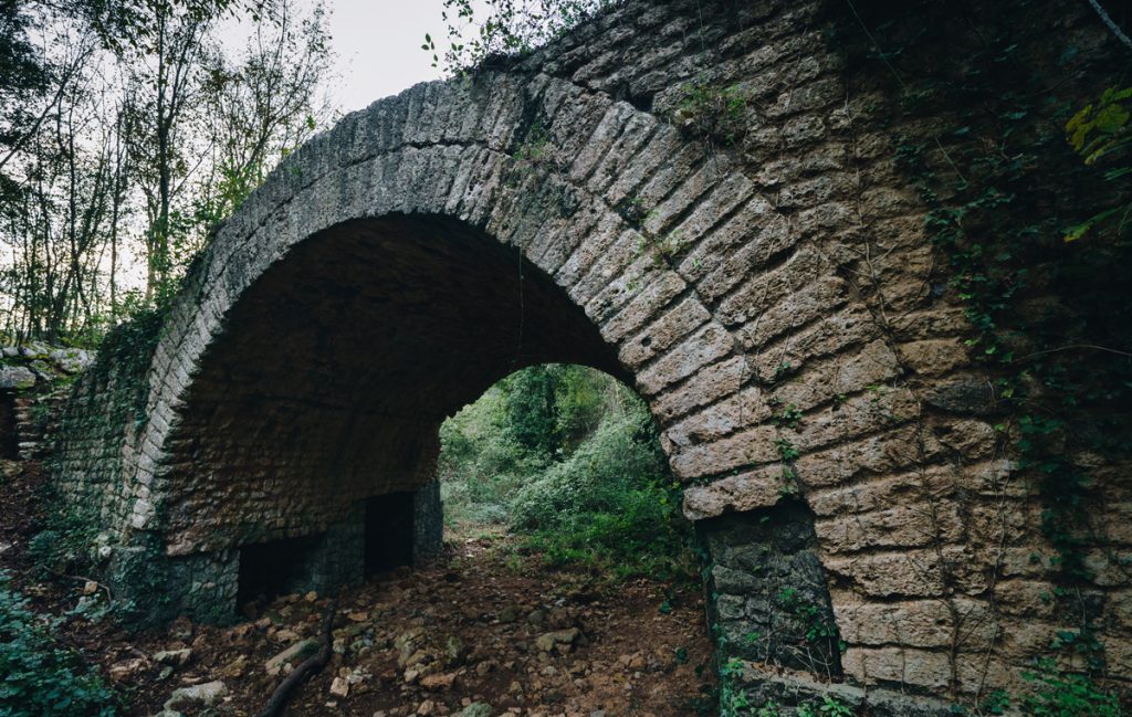
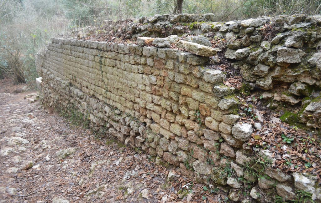
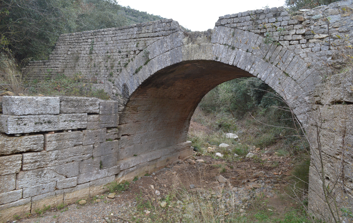
The Val Ponci is a small valley in which a rural and enchanting naturalistic landscape is associated with five roman bridges that can be linked to the via Iulia Augusta road and are datable between the 1st and the beginning of the 2nd century A.D.

The Val Ponci is a branch of the Sciusa valley and it extends for around two km in the inland of Finale at the feet of the Mànie Plateau, reaching the Colla di San Giacomo, uphill, close to the town of Magnone.


MORE INFORMATION – The Val Ponci
It’s a “fossil” valley where the erosion of the water decreased to the prevailing of water courses as the Sciusa torrent, downhill, and the Coreallo torrent, uphill, where the valley begins.
The valley goes through the Miocene formations of Finale stone and those that are more ancient with quartzite and dolostone.
The name comes from the ancient Vallis Pontium, the “Vally of the bridges”, in which there are the remains of 5 bridges linked to the via Iulia Augusta road. This road, opened by Augustus in 13 B.C. from the roman municipium of Vada Sabatia/Vado Ligure reached southern Gaul.
Going up the valley in order: the Fate bridge (the best preserved and still accessible), the Sordo bridge, the Voze bridge, the Acqua bridge and last of all the Magnone bridge.
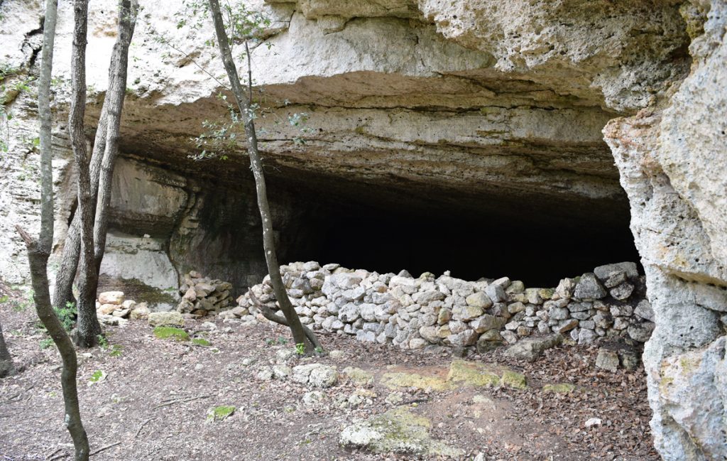
On the eastern side of the valley, between the Voze and Acqua bridges, there are underground quarries of Finale Stone, maybe already used for the construction of the roman road.
HOW TO REACH
![]() THE VAL PONCI
THE VAL PONCI
How to reach the site
The Val Ponci can be explored on foot or by bike. It can be reached by car on the road to Vorze which branches off the road of Calvisio for Vezzi Portio or, on the other side of the valley, from Magnone, locality of San Giacomo.
Info
Guided tours in the valley are part of the Archeotrekking events, organised by the Archaeological Museum of Finale.
![]() Orario di Visita
Orario di Visita
![]() Calendario delle visite
Calendario delle visite
[ls_content_block id=”7170″]


